Alto de Letras is the longest continuous paved climb on Earth. At 80+ kilometers from base to summit, rising from near sea level to 3,685 meters, this Colombian giant dwarfs anything in Europe. For cyclists seeking the ultimate climbing challenge, Alto de Letras delivers an experience found nowhere else.
The Ultimate Statistics
- Distance: 80 km (from Mariquita)
- Elevation Gain: 3,600+ m
- Average Gradient: 4.5%
- Maximum Gradient: 12%
- Approximate Time: 5-8 hours
To put this in perspective: this is equivalent to climbing the Galibier twice, back-to-back, without descent. The sheer duration transforms this from a cycling climb into an expedition.
Route Overview
From Mariquita
The traditional route begins in Mariquita in the Magdalena River valley at around 500 meters elevation. The road climbs steadily westward through tropical vegetation, cloud forest, and eventually into the páramo (high-altitude grassland) before reaching the summit on the border of the Caldas and Tolima departments.
The gradient is relatively consistent—rarely exceeding 8%—but the relentless duration is the challenge. There are no flat sections to recover, no descents to rest, just hour after hour of climbing.
What Makes It Unique
The Duration: Eighty kilometers of continuous climbing takes 5-8 hours for most cyclists. This creates a unique physical and mental challenge completely different from European climbs.
The Climate Zones: You transition through multiple ecosystems: tropical lowlands, cloud forest, and high-altitude páramo. Temperature drops dramatically, and you may experience sun, rain, fog, and cold in a single ascent.
The Altitude: The summit exceeds 3,600 meters—high enough for altitude effects to impact most unacclimatized cyclists.
The Isolation: This isn’t a tourist road. You’ll encounter local traffic, but support options are limited. Self-sufficiency is essential.
Practical Challenges
Altitude Acclimatization: Coming from sea level to 3,685 meters without acclimatization is dangerous. Plan several days at moderate altitude before attempting the climb.
Weather: Conditions vary dramatically along the route. Prepare for heat, rain, cold, and fog—sometimes all on the same day.
Supplies: Opportunities to resupply are limited. Carry extensive food and water, or plan stops carefully.
Support: This climb is best attempted with vehicle support or in a group. Solo attempts require careful planning and emergency backup.
Strategy
Start Early: Begin before dawn to maximize daylight. You need 5-8 hours of climbing time, plus margin for problems.
Pace Conservatively: The duration means energy management is critical. Start easier than any European climb would require.
Fuel Constantly: Eat and drink from the first hour. You’re on the road longer than a typical cycling century—nutrition is non-negotiable.
Layer for Temperature: Begin in light clothing and add layers as you gain altitude. The summit can be 25°C cooler than the base.
Monitor Altitude Symptoms: Watch for signs of altitude sickness—headache, nausea, difficulty breathing. If symptoms become severe, descend.
Best Time to Ride
December through February offers the most stable weather in Colombia’s Andean region.
Dry season is essential for this climb—the roads can become problematic in heavy rain.
Full daylight hours are necessary. Do not begin this climb without certainty of adequate time.
The Climbing Experience
The Alto de Letras climbs through distinct zones:
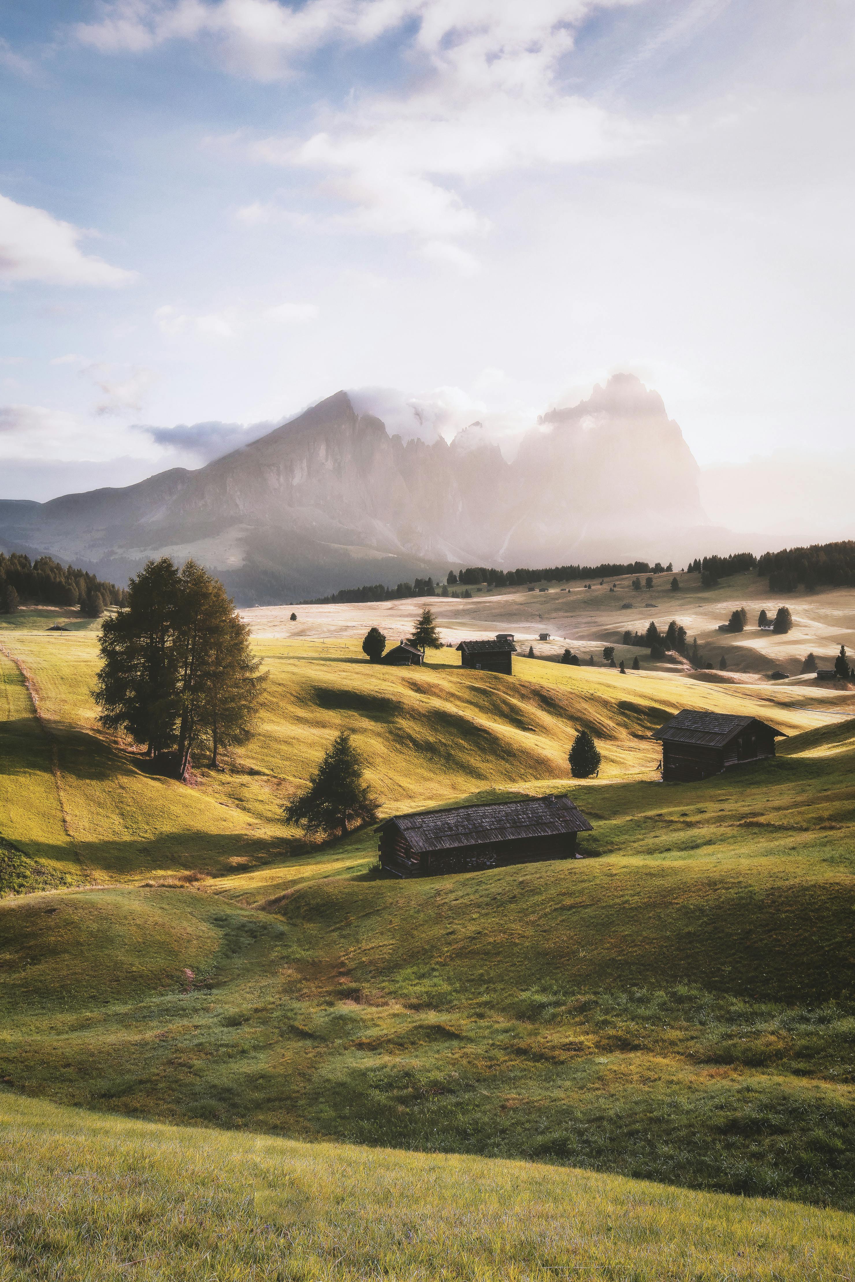
Kilometers 1-25: The tropical zone. Hot, humid, through agricultural land and small villages. Early morning shade helps.
Kilometers 25-50: The cloud forest. Temperature drops, humidity increases. Prepare for fog and drizzle.
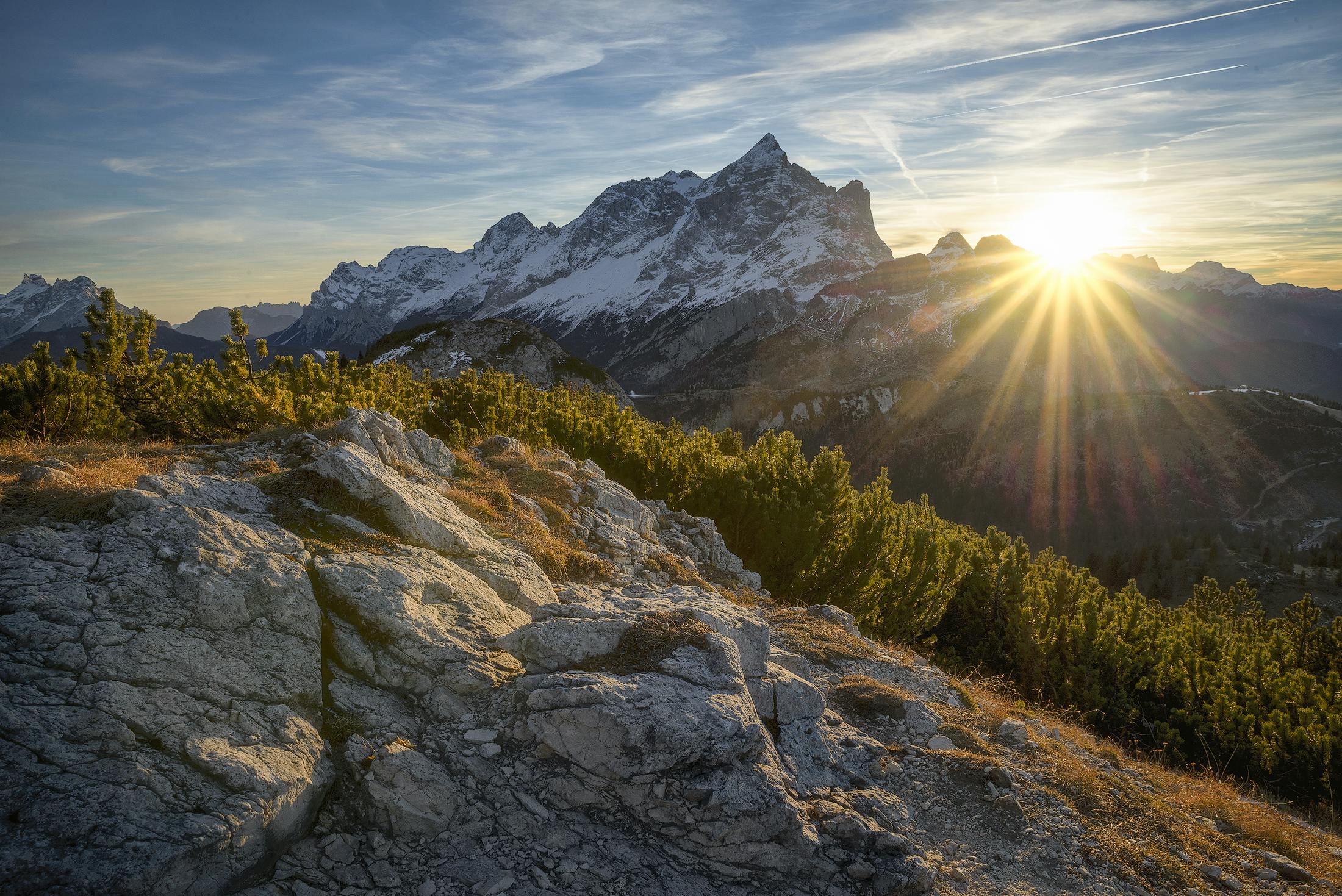
Kilometers 50-70: Above the tree line. The páramo opens up with views across the Colombian Andes. Temperature can be cold.
Kilometers 70-80: The final push to the summit. Altitude effects become significant. Thin air makes every pedal stroke harder.
The Summit
The summit of Alto de Letras is marked by a pass on the Caldas-Tolima border. The views extend across the Colombian Andes in all directions. A small shrine marks the high point.
At 3,685 meters, you’ve climbed higher than any paved road in the Alps. The sense of achievement is proportional to the effort required.
The Descent
The descent offers the same 80 kilometers in reverse. While faster than the ascent, it requires attention:
- Road conditions vary
- Temperature rises dramatically
- Traffic may have increased
- Fatigue makes concentration difficult
Plan for a full day—the descent takes 2-3 hours of focused riding.
Why You Should Ride It
Alto de Letras represents cycling’s ultimate climbing challenge in pure duration. There’s nothing like it in Europe or North America. The combination of extreme distance, altitude, and climate variety creates a truly unique experience.
This isn’t a climb for casual bucket-list ticking. It requires planning, preparation, and respect. But for cyclists seeking something beyond the ordinary—who want to test themselves against the longest continuous climb on Earth—Alto de Letras delivers.
When you finally reach the summit, standing at 3,685 meters after 80 kilometers of continuous ascent, you’ve accomplished something genuinely rare. The European giants will never feel quite the same afterward. You’ve climbed the longest, and everything else is shorter by comparison.
For cyclists who think they’ve conquered the world’s great climbs, Alto de Letras waits. This is the challenge that makes everything else a warm-up.